
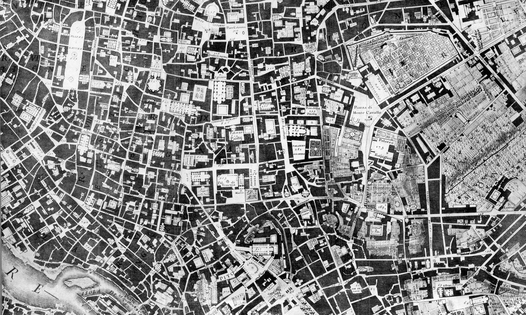
detail, Giambattista Nolli, Pianta Grande di Roma, 1748
URBAN FORM & MAPPING
An exploration of cities, public space, and mapping
Cities are continually shaped by cultural, political, and technological change. Streets, buildings, residential fabric, and open spaces evolve over time, creating the physical structure we understand as urban form. Within this changing fabric, the urban square has remained an enduring element of city life.
Urban Form & Mapping examined the city at a larger scale, extending the earlier investigations of center, boundary, entrance, geometry, and structure from the individual building to the urban realm. Through a study of cities from antiquity through the Renaissance, students considered how buildings define public space and how streets, squares, and monuments establish relationships with the larger city.
Mapping provided a practice for revealing these relationships. Using Giambattista Nolli’s Pianta Grande di Roma 1748, students analyzed Rome through trace-overlay studies of figure-ground drawings, reducing the complexity of the city to patterns of solid and void. This process revealed the relationship between built fabric and public space—and demonstrated how drawing can become a tool for understanding the structure of a city.
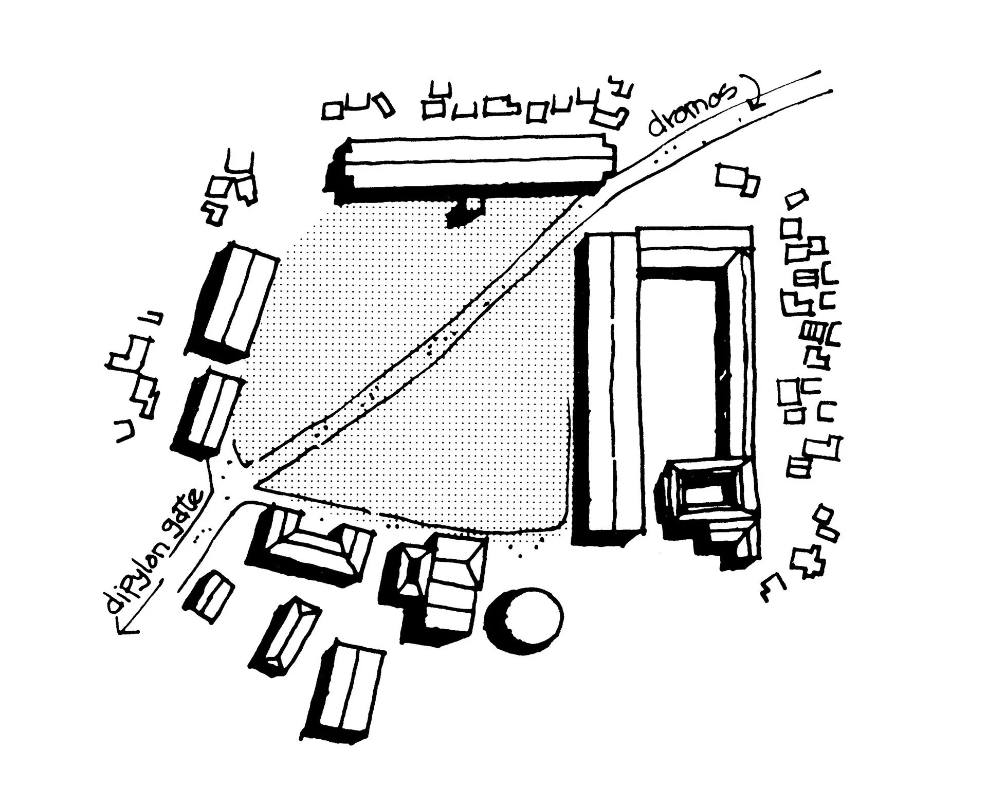
Diagram of Agora, Hell. Per. image: Urban Space by French
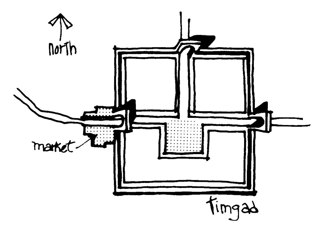
Diagram of Basic Roman Plan image: Urban Space by French
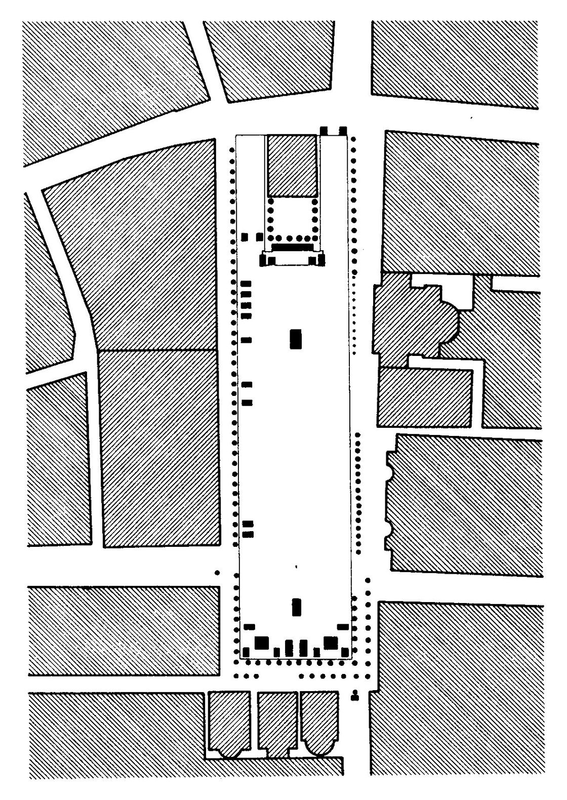
Diagram Pompeii image: Urban Space by French
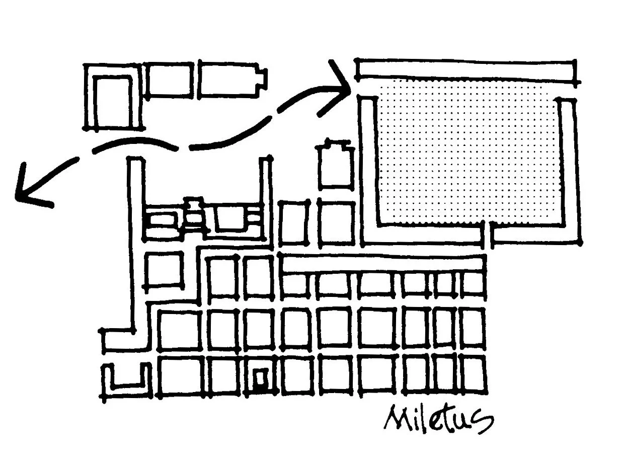
Diagram Miletus image: Urban Space by French
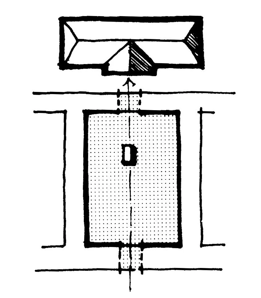
Diagram Roman Space image: Urban Space by French
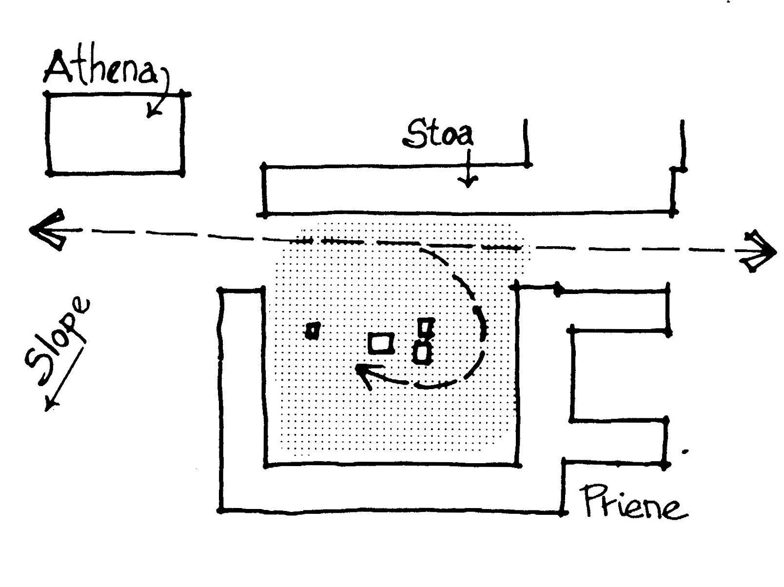
Diagram Priene image: Urban Space by French
INFLUENCES & SOURCES
Giambattista Nolli, Pianta Grande di Roma, 1748
Francis D.K. Ching, Architecture: Form, Space, and Order
Hilary French, Urban Space: A Brief History of the City Square